Beyond the Bay · Baltimore
Aberdeen, Maryland: A Harford County City Shaped by Roads and Rail
Located northeast of Baltimore, Aberdeen grew from an 18th-century farming settlement into Harford County’s largest municipality, with a history tied to the Old Post Road, the railroad and several preserved properties.
By KLGBT News Desk ·
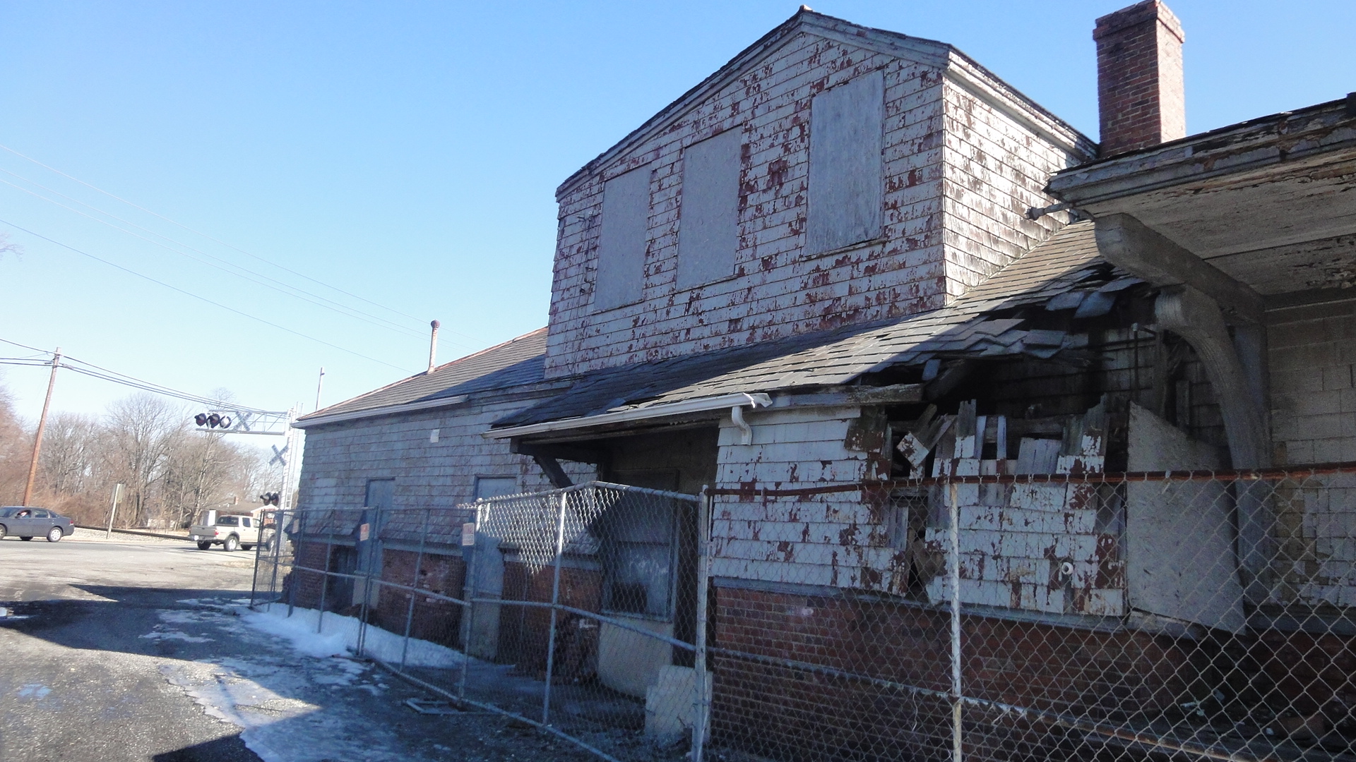
Aberdeen is a city in Harford County, about 26 miles northeast of Baltimore. It is the county’s largest municipality and had 16,254 residents at the 2020 census. The city is part of the Baltimore-Towson metropolitan area, placing it within the broader regional landscape shared by Baltimore and surrounding communities.
The city’s name reflects the origins of some of its early settlers: Aberdeen was named for the Scottish city of the same name by immigrating Scots. Its beginnings in Maryland date to 1720, when Charles Calvert, the fifth Lord Baltimore, granted 1,140 acres of fertile land to Edward Hall. The settlement that developed there was known as Halls Cross Road.
Location helped shape Aberdeen’s development. The community stood on the western edge of the Chesapeake along the Old Post Road, a principal route between Alexandria and Philadelphia. For many years, however, it remained a small farming community. That began to change in the 19th century, when the Philadelphia, Wilmington and Baltimore Railroad examined the area as a possible watering station in 1835.
The railroad’s interest connected Aberdeen’s local history to the transportation networks that linked communities across the region. Among the company’s engineers was Edmund Law Rogers, who recognized the area’s potential. The source material identifies the railroad’s survey work as an important point in Aberdeen’s transition beyond its earlier agricultural character.
Aberdeen’s historic record is also represented by a group of properties listed on the National Register of Historic Places. They include the James B. Baker House, Chestnut Ridge, Griffith House, Poplar Hill, Sophia’s Dairy and Swansbury. Together, those listings point to the range of places associated with the city’s past, from residences and farms to properties connected with local community life.
Today, Aberdeen’s position is defined both by its place in Harford County and by its proximity to other communities. Havre de Grace, identified as the nearest city, lies 4.8 miles to the northeast. Baltimore is farther southwest, but remains close enough to anchor Aberdeen within the same metropolitan frame.
For readers in Baltimore, Aberdeen offers a useful reminder that the region’s identity extends beyond the city itself. Its story combines colonial-era land grants, agricultural settlement, transportation infrastructure and historic preservation. Those layers help explain how a small community on an old regional route became a municipality with a significant place in Harford County.
Source and reuse information This automatically generated backgrounder adapts text from “Aberdeen, Maryland” on Wikipedia: https://en.wikipedia.org/wiki/Aberdeen,_Maryland The adapted text is released under the Creative Commons Attribution-ShareAlike 4.0 International license (CC BY-SA 4.0): https://creativecommons.org/licenses/by-sa/4.0/. The source article’s linked references are provided below where available. This story has not been independently reviewed or fact-checked.
Further links listed by the Wikipedia page (not independently checked): - https://web.archive.org/web/20080423140952/http://www.aberdeen-md.org/government - https://web.archive.org/web/20100508092536/http://www.aberdeen-md.org/council/ - https://web.archive.org/web/20071029022328/http://www.harfordcountymd.gov/Council/DistrictE.html - https://maps.google.com/maps?num=100&hl=en&safe=off&q=Carsins,+Uninc+Harford+County,+MD,+USA&ie=UTF8&ll=39.538469,-76.21248&spn=0.006735,0.014913&z=16 - https://maps.google.com/maps?f=q&hl=en&geocode=&q=Webster,+Uninc+Harford+County,+MD,+USA&ie=UTF8&ll=39.574717,-76.155596&spn=0.006732,0.014913&z=16&iwloc=addr - https://maps.google.com/maps?num=100&hl=en&safe=off&q=Swan+Creek,+Uninc+Harford+County,+MD,+USA&ie=UTF8&ll=39.52086,-76.15242&spn=0.026947,0.059652&z=14 Image rights Photograph description: An image of the back of the Aberdeen Station stop on the B&O Railroad. The site has fallen into a state of disrepair since the railroad closed. This site was selected for Endangered Maryland in 2007. This site was selected for a Heritage Fund Grant in 2004, 2007, 2011. Creator: Preservation Maryland. License: CC BY-SA 2.0 (https://creativecommons.org/licenses/by-sa/2.0). Original image page: https://commons.wikimedia.org/wiki/File%3AAberdeen_Station%2C_back_(21416671350).jpg. The image was resized for display; no other changes were made.