Beyond the Bay · Baltimore
Towson: Baltimore County’s Seat, From Susquehannock Hunting Grounds to a Growing Crossroads
Towson is an unincorporated community and census-designated place whose history reaches from Susquehannock use of the region to an 18th-century farming settlement and hotel serving travelers and agricultural producers.
By KLGBT News Desk ·
Towson is an unincorporated community and census-designated place in Baltimore County, Maryland. It serves as the county seat and had 59,533 residents in the 2020 census. The community is also identified as the second-most populous unincorporated county seat in the United States, behind Ellicott City in neighboring Howard County.
The area’s history predates the community’s current name and settlement pattern. The Susquehannock people were the first inhabitants identified in the historical account of the future Towson and central Baltimore County region. They hunted across a territory that included Baltimore County, while their main settlement was farther northeast along the Susquehanna River.
Towson’s settlement as a named community began in 1752, when Pennsylvania brothers William and Thomas Towson started farming at Sater’s Hill. The site was northeast of what are now York Road and Joppa Road. Agriculture shaped the community’s early development, including its connection to Baltimore’s port.
William Towson’s son, Ezekiel, later opened the Towson Hotel as more farmers traveled through the area with produce and livestock. He built the hotel near the main crossroads at what is now the intersection area of Shealy Avenue and York Road. The establishment helped give the growing village a recognizable center, and the settlement came to be known as Towsontown.
The history of West Towson is connected to two land grants, including a 400-acre tract identified in the source as Gott’s Hope. Those grants form part of the area’s early land history as the community developed beyond its original farming locations.
For Baltimore-area readers, Towson’s role as the county seat places it within the civic geography surrounding Baltimore City, while its origins reflect a broader regional pattern: Indigenous use of the land, colonial-era farming, and the growth of routes tied to commerce. Its present designation as both an unincorporated community and a census-designated place captures a place with a defined population and civic importance without municipal incorporation.
That combination of county-government prominence and layered history makes Towson a useful point of reference when considering Baltimore County’s development. The community’s story is not only about the people who established farms and businesses there, but also about the Susquehannock presence that preceded them and the transportation and agricultural activity that shaped Towson’s early identity.
Source and reuse information This automatically generated backgrounder adapts text from “Towson, Maryland” on Wikipedia: https://en.wikipedia.org/wiki/Towson,_Maryland The adapted text is released under the Creative Commons Attribution-ShareAlike 4.0 International license (CC BY-SA 4.0): https://creativecommons.org/licenses/by-sa/4.0/. The source article’s linked references are provided below where available. This story has not been independently reviewed or fact-checked.
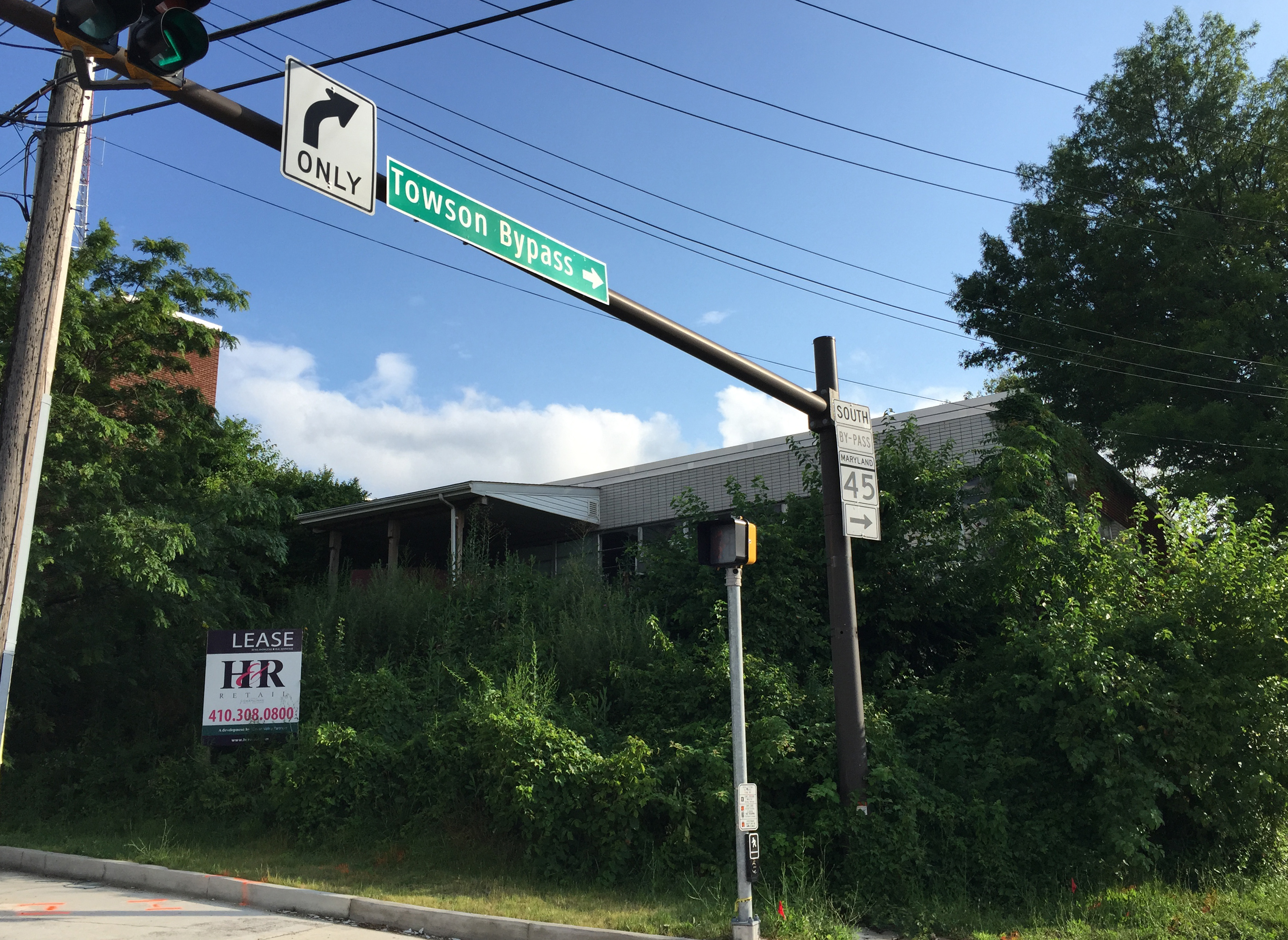
Further links listed by the Wikipedia page (not independently checked): - https://web.archive.org/web/20080212075544/http://towsonbusinessassoc.org/towson_md.cfm - https://web.archive.org/web/20060217174038/http://www.bcplonline.org/info/history/hist_west_towson.html - https://web.archive.org/web/20080315113551/http://www.civilwarinteractive.com/ArticlesGilmorsRide.htm - https://web.archive.org/web/20110724000844/http://external.bcpl.lib.md.us/hcdo/cfdocs/photopage.cfm?id=3348 - https://web.archive.org/web/20080821130802/http://www.jerusalemmill.org/gilmorhistory.htm - https://web.archive.org/web/20070821230517/http://www.baltimorecollegetown.org/asp/shuttle.asp Image rights Photograph description: Traffic light and signs at the north end of Maryland State Route 45 Bypass (Bosley Avenue/Towson Bypass) at Maryland State Route 45 (York Road) in Towson, Baltimore County, Maryland Creator: Famartin. License: CC BY-SA 4.0 (https://creativecommons.org/licenses/by-sa/4.0). Original image page: https://commons.wikimedia.org/wiki/File%3A2016-07-13_18_12_03_Traffic_light_and_signs_at_the_north_end_of_Maryland_State_Route_45_Bypass_(Bosley_Avenue-Towson_Bypass)_at_Maryland_State_Route_45_(York_Road)_in_Towson%2C_Baltimore_County%2C_Maryland.jpg. The image was resized for display; no other changes were made.