Culture · Columbus
Near East Side: A Columbus Area Shaped by Transit, Culture and Neighborhood Identity
The Near East Side developed from a wealthy community on Columbus’s expanding edge into a collection of distinct neighborhoods with deep commercial, artistic and African American cultural histories.
By KLGBT News Desk ·
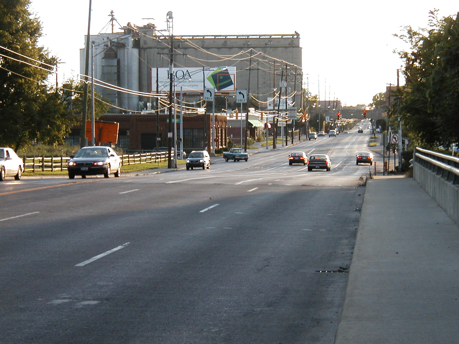
The Near East Side sits close to downtown Columbus and is not a single neighborhood in the narrow sense. It is a collection of communities that includes Mount Vernon, King-Lincoln Bronzeville, Eastgate, Franklin Park, Nelson Park, Olde Towne East and Woodland Park.
Its growth accelerated after the Civil War, as Columbus expanded and its streetcar system made it easier for residents to live farther from their workplaces. Transportation helped reshape the city’s footprint, while development along major roads pushed the urban edge toward Alum Creek through annexation.
In that period, the Near East was associated with wealth and prestige. The area included large homes, established businesses and an active artist community. Its location and connections to the growing city helped make it an important part of Columbus’s urban development.
By the 1920s, the area had formed a stronger identity through its individual neighborhoods. Hamilton Park and Long Street, identified in the source as a wealthy African American community, had a broad mix of businesses and gathering places. Stores, theaters, offices and restaurants lined the area, while clubs and lounges helped establish a local jazz scene.
Entertainment was also a visible part of the Near East Side’s history. Five movie houses operated near one another, including the Dunbar Theater at Mount Vernon and Champion avenues and The Cameo on Mount Vernon. Their concentration points to a neighborhood where film, music, dining and nightlife were closely connected and accessible within the same part of the city.
Taken together, the history presents the Near East Side as a place shaped by several overlapping forces: transportation, annexation, residential development, Black entrepreneurship and cultural life. The area’s identity emerged not only from its proximity to downtown, but also from the distinct institutions and commercial corridors that served its residents.
For Columbus readers, that history offers useful context for understanding why the Near East Side is best described as a network of neighborhoods rather than a uniform district. Its past includes both the prosperity associated with large homes and successful businesses and the community-building represented by theaters, restaurants, clubs and jazz venues. Those layers remain central to any account of the area’s place in the city’s history.
Source and reuse information This automatically generated backgrounder adapts text from “Near East Side, Columbus, Ohio” on Wikipedia: https://en.wikipedia.org/wiki/Near_East_Side,_Columbus,_Ohio The adapted text is released under the Creative Commons Attribution-ShareAlike 4.0 International license (CC BY-SA 4.0): https://creativecommons.org/licenses/by-sa/4.0/. The source article’s linked references are provided below where available. This story has not been independently reviewed or fact-checked.
Further links listed by the Wikipedia page (not independently checked): - https://columbus.gov/uploadedFiles/Columbus/Departments/Development/Planning_Division/Document_Library/Library_Documents/PDFs/Historic_Districts.pdf - https://columbus.gov/uploadedFiles/Columbus/Departments/Development/Planning_Division/Document_Library/Library_Documents/PDFs/Holtzman-Main%20Plan.pdf - https://www.columbus.gov/uploadedFiles/Columbus/Departments/Development/Home_Page/CRA%20Map.pdf - https://web.archive.org/web/20141216232254/http://video.wosu.org/video/2330563589/ - https://web.archive.org/web/20120530020133/http://unitedschoolsnetwork.org/maincampus.php - https://web.archive.org/web/20141216230217/http://www.oldoaks.us/ Image rights Photograph description: In Columbus, Ohio. Image may require further categorization. View looking toward the west from the bridge where East Main Street crosses Alum Creek . The "Main and Nelson Station" grain elevator is prominent in the photo. Compare File:Main and Nelson Station photographs - DPLA - 2213374810adbc551d764442836e587c (page 1).jpg . Creator: neighborhoods.org. License: CC BY-SA 2.0 (https://creativecommons.org/licenses/by-sa/2.0). Original image page: https://commons.wikimedia.org/wiki/File%3AColumbus%2C_Ohio_61.jpg. The image was resized for display; no other changes were made.