Culture · Los Angeles
South Gate: A Gateway Cities Community With Deep Local Roots
Seven miles southeast of Downtown Los Angeles, South Gate combines a 20th-century municipal history with Indigenous and Spanish colonial roots.
By KLGBT News Desk ·
South Gate sits seven miles southeast of Downtown Los Angeles in the southeastern part of Los Angeles County. Covering 7.4 square miles, the city is part of the Gateway Cities region, a collection of communities that form an important geographic link between central Los Angeles and the county’s southeastern neighborhoods.
The city was incorporated on January 20, 1923. Nearly a century later, the 2020 census recorded 92,726 residents, making South Gate the 19th-largest city in Los Angeles County by population. Those figures place the city among the county’s substantial urban communities while its relatively compact footprint gives it a distinct local scale.
South Gate’s public identity also reflects its connection to the natural world. In 1965, the city adopted the azalea as its official symbol and became associated with the nickname “Azalea City.” That civic choice remains part of the community’s historical identity, linking the city’s municipal story to a recognizable flower rather than to an industry or individual figure.
The area’s history reaches back well before incorporation. Before the Spanish colonial period, the land that later became South Gate was within the traditional cultural territory of the Gabrielino. Historical accounts identify the village of Tajauta near the present-day borders of South Gate, Lynwood, and Watts. Gabrielino villages or archaeological locations have also been reported in connection with South Gate Park and the former City Hall site near Post Street and Victoria Avenue. These accounts point to an Indigenous history that predates the city’s modern boundaries and institutions.
The Spanish colonial era brought early settlers including members of the Lugo family, described in the research as one of California’s first families. The Lugo land grant covered a large portion of the area that would later develop into South Gate, tying the community’s later urban history to the region’s colonial land system.
South Gate’s civic achievements include national recognition. In 1990, it was one of 10 communities in the United States to receive the All-America City Award from the National Civic League. The award placed the city in a group recognized for civic involvement and community life.
For Los Angeles residents, South Gate offers a reminder that the county’s urban map contains layers of history: Indigenous places and cultural territories, Spanish land grants, 20th-century incorporation, and modern civic identity. Its location in the Gateway Cities and proximity to Downtown Los Angeles make it part of the broader Los Angeles story, while its local symbols and historical landmarks distinguish it as a community with its own narrative.
Source and reuse information This backgrounder adapts factual material from “South Gate, California” on Wikipedia: https://en.wikipedia.org/wiki/South_Gate,_California The adapted text is released under the Creative Commons Attribution-ShareAlike 4.0 International license (CC BY-SA 4.0): https://creativecommons.org/licenses/by-sa/4.0/. This story has not been independently reviewed or fact-checked.
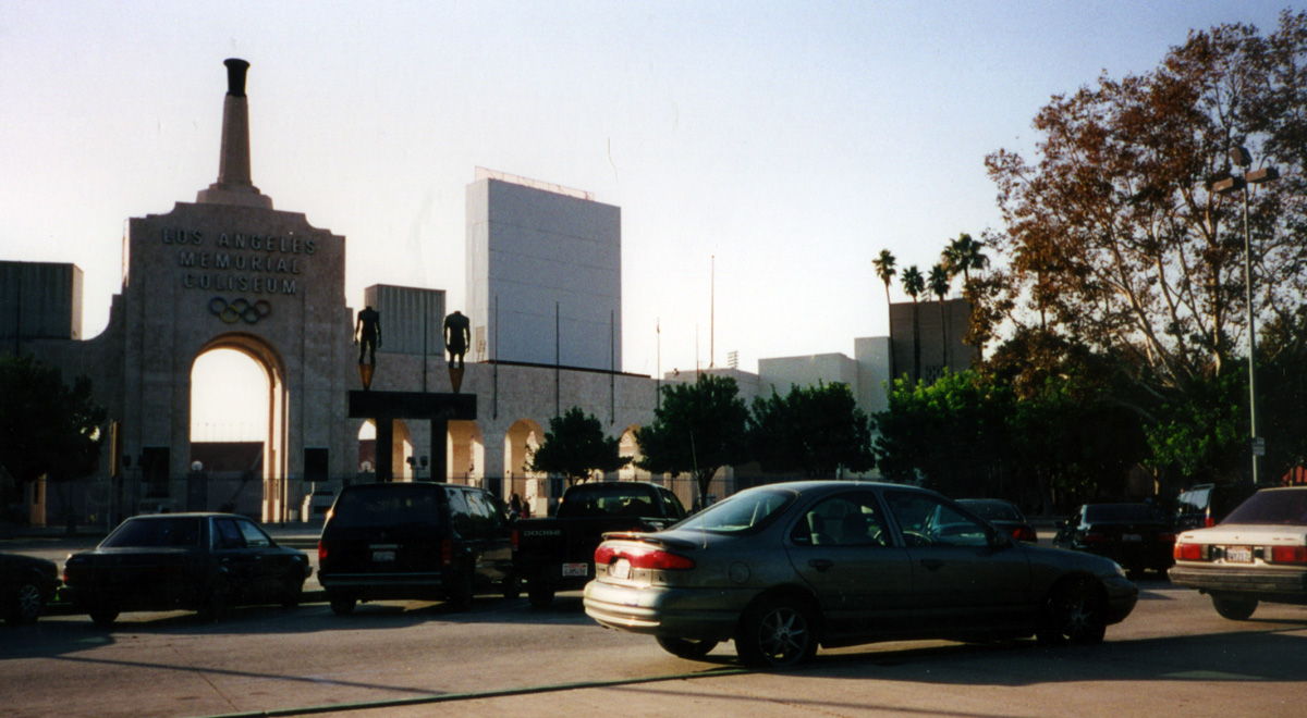
Further links listed by the Wikipedia page (not independently checked): - https://web.archive.org/web/20051201092657/http://www.cityofsouthgate.org/Navarro.htm - https://web.archive.org/web/20100708234849/http://www.sogate.org/index.cfm/fuseaction/nav/navid/30/ - https://web.archive.org/web/20060526214850/http://www.nbc4.tv/news/1942556/detail.html - https://web.archive.org/web/20070128021947/http://www.capitoljournal.com/news/features/_J.e.f.f.e./?7 - https://web.archive.org/web/20100527190101/http://publichealth.lacounty.gov/phn/docs/HealthCenter/whittier.pdf - https://web.archive.org/web/20060409044938/http://laschools.org/employee/mpd/fs-mpd/download/map_booklets/Project22.pdf Image rights Photograph description: Located just south of downtown Los Angeles, this is the stadium that hosted the 1984 Summer Olympic Games. In the foreground is my Ford Contour. I had been on the road for almost two weeks now; fed up with the dot-com bust in the San Francisco Bay Area, I wanted to be away from there, and eventually move away for good. One consideration for my road trip was to end it in Southern California, which Creator: InSapphoWeTrust from Los Angeles, California, USA. License: CC BY-SA 2.0 (https://creativecommons.org/licenses/by-sa/2.0). Original image page: https://commons.wikimedia.org/wiki/File%3ALos_Angeles_Memorial_Coliseum_(5682430419).jpg. The image was resized for display; no other changes were made.