Culture · Miami
Coconut Grove: A Green, Historic Corner of Miami
Coconut Grove, known locally as The Grove, is Miami’s oldest continuously inhabited neighborhood and a distinct community shaped by its bayfront location, long history and connections to other parts of the city.
By KLGBT News Desk ·
Coconut Grove, often called The Grove, occupies a distinctive position in Miami-Dade County. It is recognized as Miami’s oldest continuously inhabited neighborhood, with a location that places Biscayne Bay at its doorstep and several major Miami communities just beyond its borders.
The neighborhood is generally defined by North Prospect Drive to the south, LeJeune Road to the west, South Dixie Highway—U.S. 1—and the Rickenbacker Causeway to the north, and Biscayne Bay to the east. That geography places Coconut Grove south of Brickell and The Roads, and east of Coral Gables.
Coconut Grove’s modern boundaries reflect a major change in Miami’s municipal history. In 1925, the city of Miami annexed two areas of roughly equal size: the city of Coconut Grove and most of the town of Silver Bluff. The resulting neighborhood is broadly associated with the 33133 ZIP code, although that postal area also extends into sections of Coral Way and Coral Gables, along with a small portion of ZIP code 33129.
The neighborhood’s name has had its own history. “Cocoanut Grove” appeared as an alternate spelling, but “Coconut Grove” became the established form when the city was incorporated in 1919. That spelling is now the standard used for the neighborhood and its civic identity.
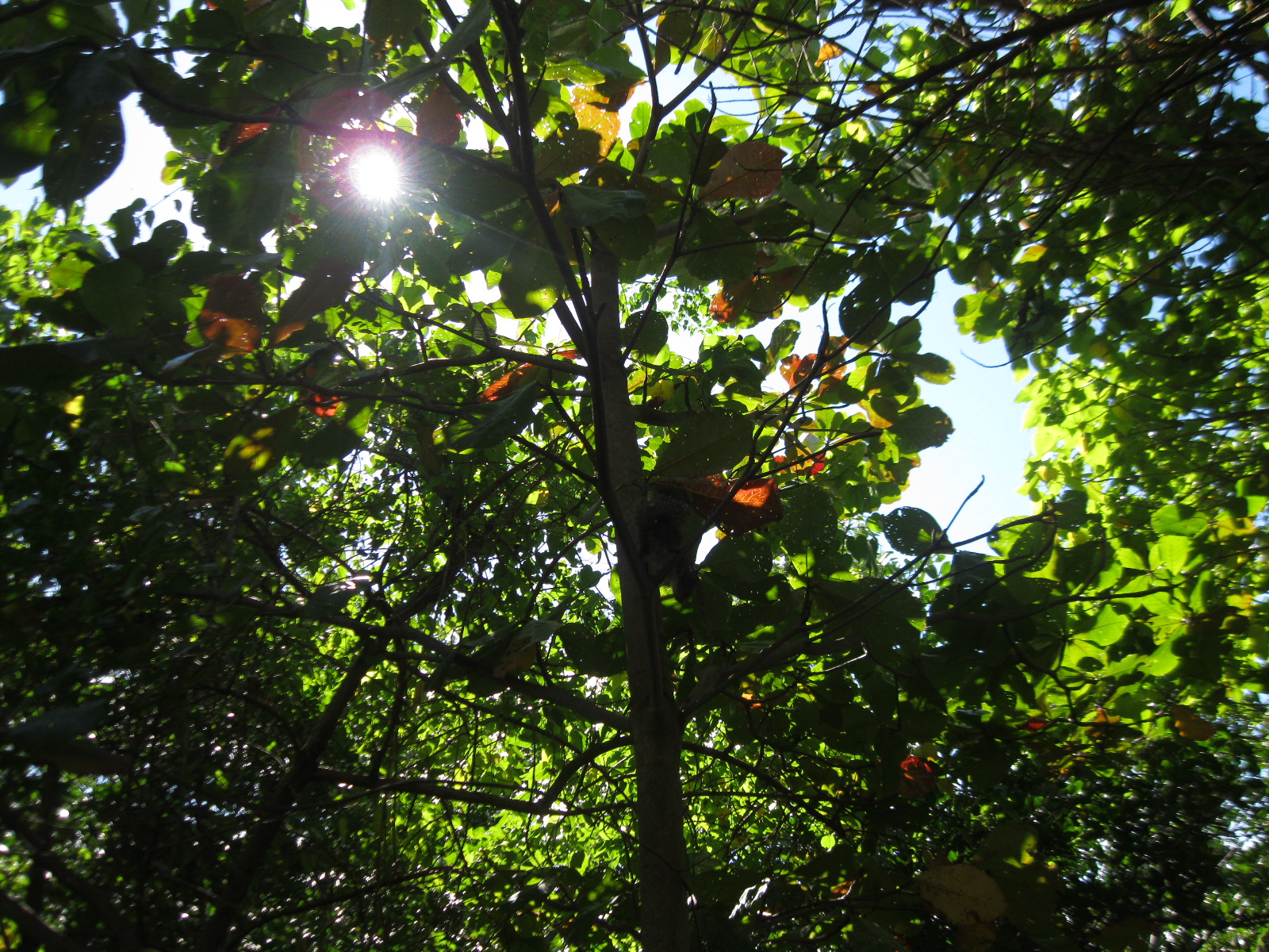
Coconut Grove is also known for its greenery. Residents take pride in its reputation as one of Miami’s greenest areas, a quality that distinguishes it from denser parts of the city and contributes to its recognizable local character. For visitors and residents alike, the neighborhood’s relationship with the bay and its leafy setting are central to understanding why The Grove remains a separate point of reference within Miami.
The neighborhood is connected to Miami’s broader transit system through Metrorail. Riders can reach Coconut Grove using the Coconut Grove station or the Douglas Road station, giving the area rail links to destinations elsewhere in the city and county.
For Miami readers, Coconut Grove is more than a ZIP code or a section of the map. Its long continuity, changing municipal boundaries and defined relationship to surrounding communities make it an important part of the city’s history. Its bayfront position, green landscape and transit access continue to shape how people experience this longstanding Miami neighborhood.
Source and reuse information This backgrounder adapts factual material from “Coconut Grove” on Wikipedia: https://en.wikipedia.org/wiki/Coconut_Grove The adapted text is released under the Creative Commons Attribution-ShareAlike 4.0 International license (CC BY-SA 4.0): https://creativecommons.org/licenses/by-sa/4.0/. This story has not been independently reviewed or fact-checked.
Further links listed by the Wikipedia page (not independently checked): - https://www.nytimes.com/2001/08/24/sports/neal-colzie-47-defensive-back-in-nfl.html - https://pqasb.pqarchiver.com/chicagotribune/access/596916042.html?dids=596916042:596916042&FMT=ABS&FMTS=ABS:AI&type=historic&date=Jul+23,+1972&author=&pub=Chicago+Tribune&desc=Coconut+Grove&pqatl=google - https://web.archive.org/web/20090416180151/http://www.miamigis.com/cityofmiamive/ - https://web.archive.org/web/20160105060853/http://www.ci.miami.fl.us/nets/offices/grove/ - https://web.archive.org/web/20080924194916/http://www.ci.miami.fl.us/PublicFacilities/Marinas/dinner.html - https://web.archive.org/web/20080517201540/http://www.miamigov.com/Planning/pages/services/Census.asp Image rights Photograph description: NATURE, COCONUT GROVE, MIAMI Creator: Ivan Curra. License: CC BY-SA 3.0 (https://creativecommons.org/licenses/by-sa/3.0). Original image page: https://commons.wikimedia.org/wiki/File%3ANATURE%2C_COCONUT_GROVE%2C_MIAMI_-_panoramio.jpg. The image was resized for display; no other changes were made.