Beyond the Bay · Miami
How the Rickenbacker Causeway Opened Key Biscayne to Miami’s Growth
Key Biscayne’s transformation from a largely agricultural island into a Miami-area village began with a public-land agreement and the opening of the Rickenbacker Causeway in 1947.
By KLGBT News Desk ·
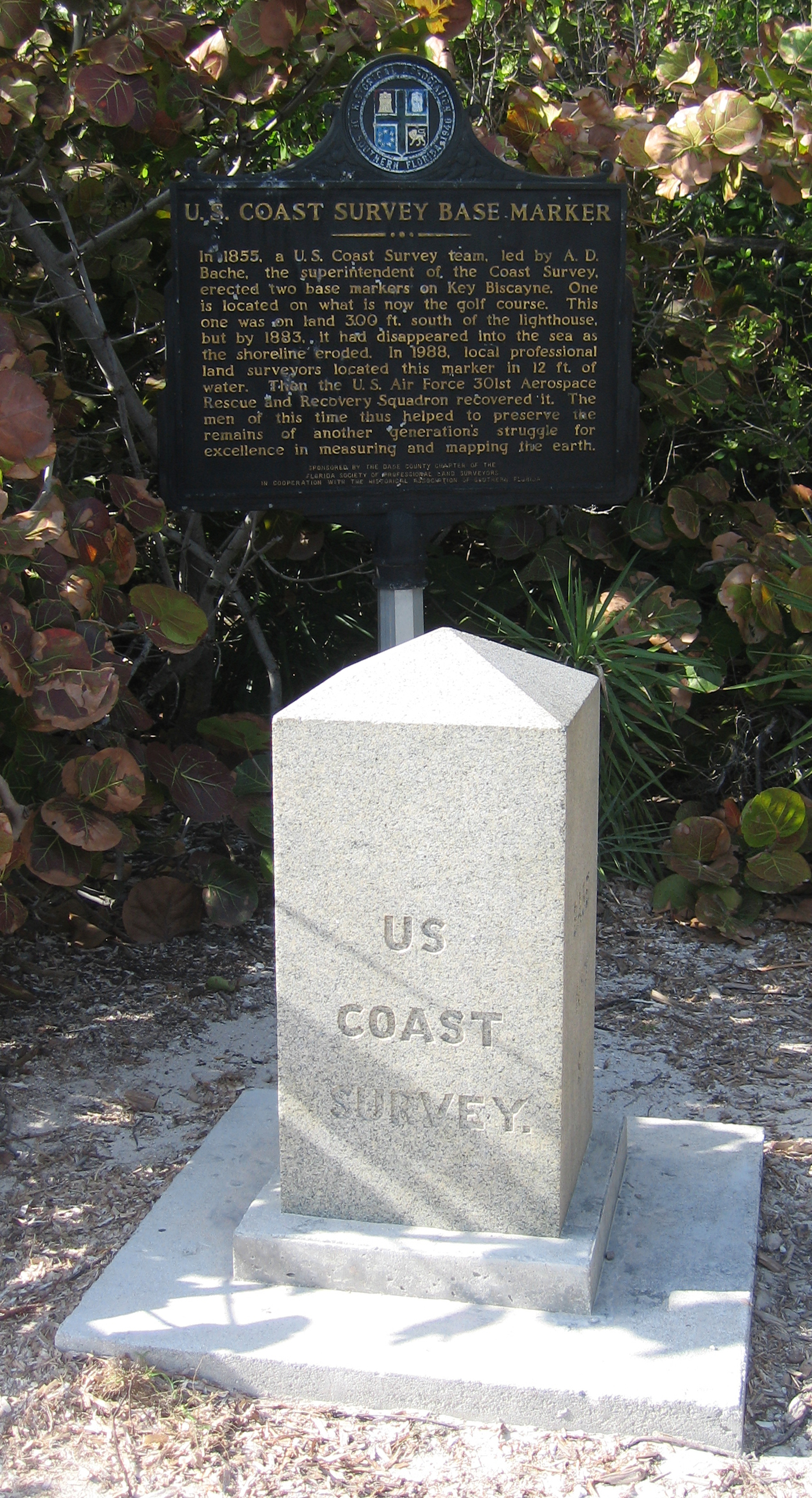
Key Biscayne’s connection to Miami was permanently altered in 1947, when the Rickenbacker Causeway opened a route from the mainland across Virginia Key and onward to the island. The four-mile road made large-scale residential development possible and helped set the stage for the community that exists today.
Before that transformation, much of Key Biscayne had a very different identity. During the first half of the 20th century, the northern two-thirds of the island was home to the largest coconut plantation in the continental United States. Plans for a town had existed earlier, but the island’s future changed through an agreement involving the Matheson family and Dade County.
In 1940, the Mathesons gave more than 800 acres to the county for use as a public park. That land became Crandon Park. In return, the county committed to constructing a causeway connecting the island with the Miami area. The Matheson property that was not donated, located across the middle of Key Biscayne, was sold to developers.
The new road soon made the island a target for home construction. Beginning in 1951, the Mackle Construction Company marketed houses on Key Biscayne for $9,540, with a required down payment of $500. A local post office also opened as the growing community took shape.
Key Biscayne is now a village in Miami-Dade County and part of the Miami metropolitan area. Its population reached 14,809 in the 2020 census, compared with 12,344 in 2010. Those figures reflect the scale of the community that developed after the causeway connected the island to the broader South Florida region.
For Miami residents, Key Biscayne’s history offers a clear example of how transportation infrastructure and public land decisions can influence development. The causeway was not simply a physical link between the mainland and the island; it was also the foundation for a shift from plantation land and planned public space toward a permanent residential village. Crandon Park remains part of that origin story, while the causeway continues to define Key Biscayne’s place within the Miami area.
Source and reuse information This backgrounder adapts factual material from “Key Biscayne, Florida” on Wikipedia: https://en.wikipedia.org/wiki/Key_Biscayne,_Florida The adapted text is released under the Creative Commons Attribution-ShareAlike 4.0 International license (CC BY-SA 4.0): https://creativecommons.org/licenses/by-sa/4.0/. This story has not been independently reviewed or fact-checked.
Further links listed by the Wikipedia page (not independently checked): - https://www.heraldtribune.com/article/20040722/News/605227717 - https://www.washingtonpost.com/wp-srv/politics/campaigns/junkie/links/rebozo.htm - https://www.nytimes.com/2006/04/27/garden/the-soul-of-havana-on-biscayne-bay.html - https://www.nytimes.com/2015/12/07/arts/design/in-a-red-hot-art-market-the-collector-martin-margulies-stays-cool.html - https://d-nb.info/gnd/4278314-8 - https://musicbrainz.org/area/1a08232b-07d9-489b-b1e6-46c5443f4d96 Image rights Photograph description: U.S. Coast Survey Base Marker located at Bill Baggs Cape Florida State Park near the Cape Florida Lighthouse . The marker is inscribed as follows: Side 1: BASE No.7. S. Side 2: 1855. Side 3: A.D.BACHE. SUPT. Side 4: US COAST SURVEY. Creator: Leonard J. DeFrancisci. License: CC BY-SA 3.0 (https://creativecommons.org/licenses/by-sa/3.0). Original image page: https://commons.wikimedia.org/wiki/File%3AU.S._Coast_Survey_Base_Marker_(Key_Biscayne%2C_Florida)_01_rotate_and_crop.jpg. The image was resized for display; no other changes were made.