Beyond the Bay · Miami
Redland Offers a Rural Counterpoint to Greater Miami
About 20 miles southwest of downtown Miami, Redland preserves a working agricultural landscape of tropical fruit farms, ornamental nurseries, historic homes and coral-rock walls.
By KLGBT News Desk ·
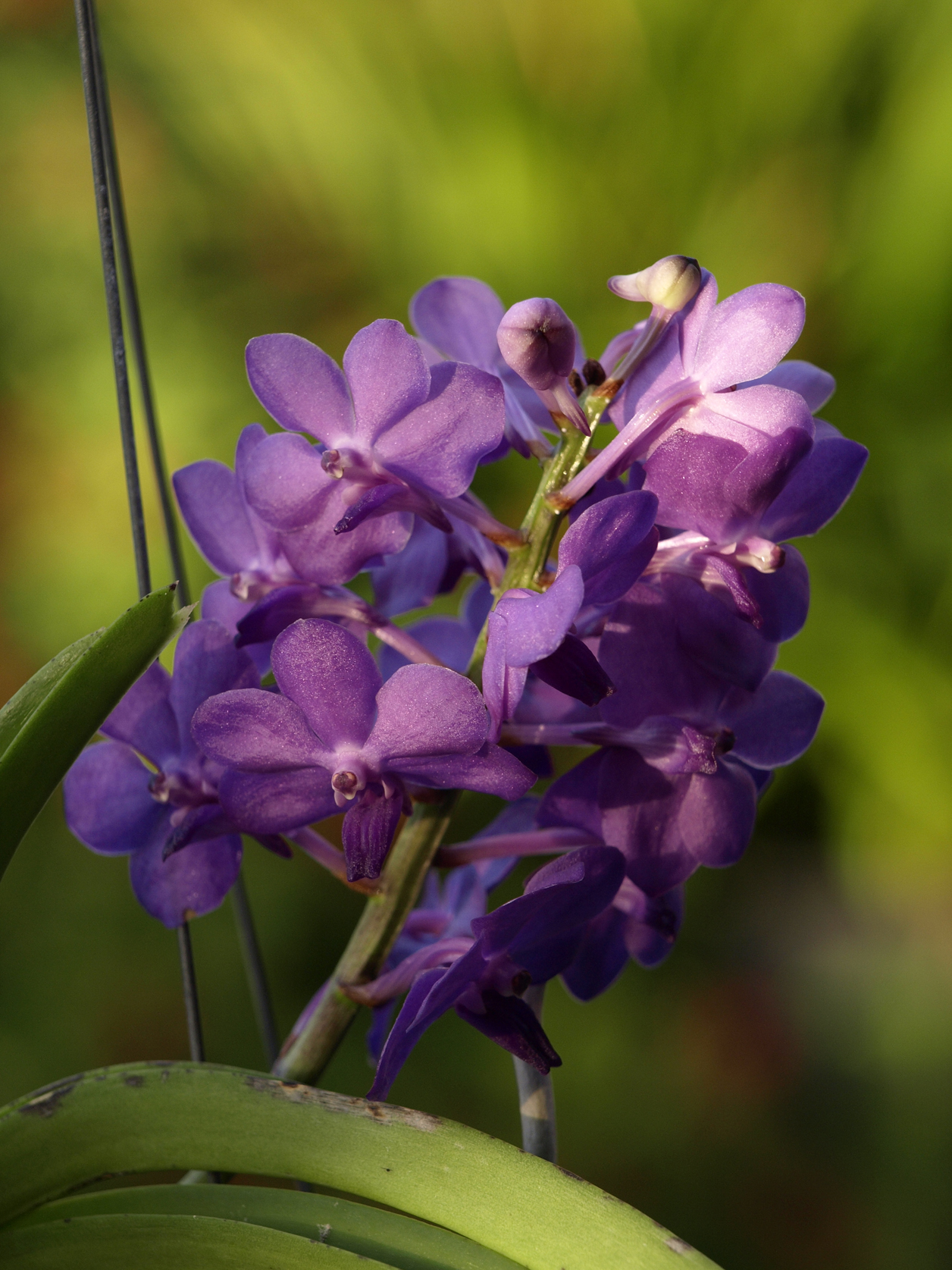
Greater Miami’s landscape changes dramatically as roads move southwest from the urban core. About 20 miles from downtown, Redland occupies a largely agricultural stretch of Miami-Dade County just northwest of Homestead. The unincorporated community, also known as the Redlands or simply the Redland, is a reminder that a major metropolitan area can sit directly beside a working farming region.
Redland’s identity is closely tied to its soil. Pockets of red clay cover a base of oolitic limestone, giving the area both its name and a distinctive physical character. That combination supports tropical fruit cultivation, including varieties that do not grow elsewhere in the continental United States. The community also has a substantial concentration of ornamental nurseries, making agriculture visible not only in fields but also in the plants grown for landscaping.
For visitors and residents exploring beyond Miami’s dense urban neighborhoods, the area’s scenery offers a different version of South Florida. U-pick fields are scattered through the agricultural belt, while coral-rock walls and the original clapboard houses of early settlers remain part of the landscape. Historic structures from the early twentieth century add another layer to the area’s rural character.
The name Redland has also carried a broader meaning over time. In the early twentieth century, the “Redland District” referred to a wider collection of communities, including Homestead, Florida City, Silver Palm, Modello, Naranja, Princeton and Goulds. Today, the Redland name generally identifies the community and farming area near Homestead, but its history reflects a larger regional landscape that once connected several settlements.
Redland’s proximity to Miami is central to its significance. It is not a distant agricultural outpost separated from the region’s metropolitan life; it is a farming belt directly adjoining one of the country’s largest urban areas. That contrast helps explain why the area remains distinctive within Miami-Dade County. Its tropical crops, nurseries, open fields, stone walls and historic homes preserve a rural setting within reach of downtown Miami.
For anyone seeking a different perspective on the county, Redland provides a place where agriculture and local history remain visible. The community’s red earth, limestone foundations and cultivated fields together tell a story of how South Florida’s rural and metropolitan landscapes developed side by side.
Source and reuse information This backgrounder adapts factual material from “Redland, Florida” on Wikipedia: https://en.wikipedia.org/wiki/Redland,_Florida The adapted text is released under the Creative Commons Attribution-ShareAlike 4.0 International license (CC BY-SA 4.0): https://creativecommons.org/licenses/by-sa/4.0/. This story has not been independently reviewed or fact-checked.
Further links listed by the Wikipedia page (not independently checked): - https://wikimapia.org/#lang=en&lat=25.555451&lon=-80.470905&z=13&m=w&show=/23653117/Redland&search=redlan - https://www.miamiherald.com/living/food-drink/article4727487.html/ - https://www.washingtonpost.com/the-impulsive-traveler-in-florida-a-taste-of-tropical-fruits/2012/02/13/gIQAShUJVR_story.html/ - https://viaf.org/viaf/126970310 - https://flashbackmiami.com/2014/12/10/anderson-corner/#lightbox%5Bgroup-4659%5D/0/ - https://dadeheritagetrust.org/portfolio-item/andersons-corners-3/ Image rights Photograph description: Vascostylis Pine Rivers 'Redland Sky' South Miami, Florida, USA Creator: scott.zona. License: CC BY 2.0 (https://creativecommons.org/licenses/by/2.0). Original image page: https://commons.wikimedia.org/wiki/File%3AVascostylis_Pine_Rivers.jpg. The image was resized for display; no other changes were made.