Beyond the Bay · New Orleans
New Orleans in Context: Louisiana’s Parishes, Rivers and Gulf Coast
A geographic and cultural primer on the Louisiana setting that includes New Orleans, from its parish system and French heritage to the Mississippi River’s influence on the state’s landscape.
By KLGBT News Desk ·
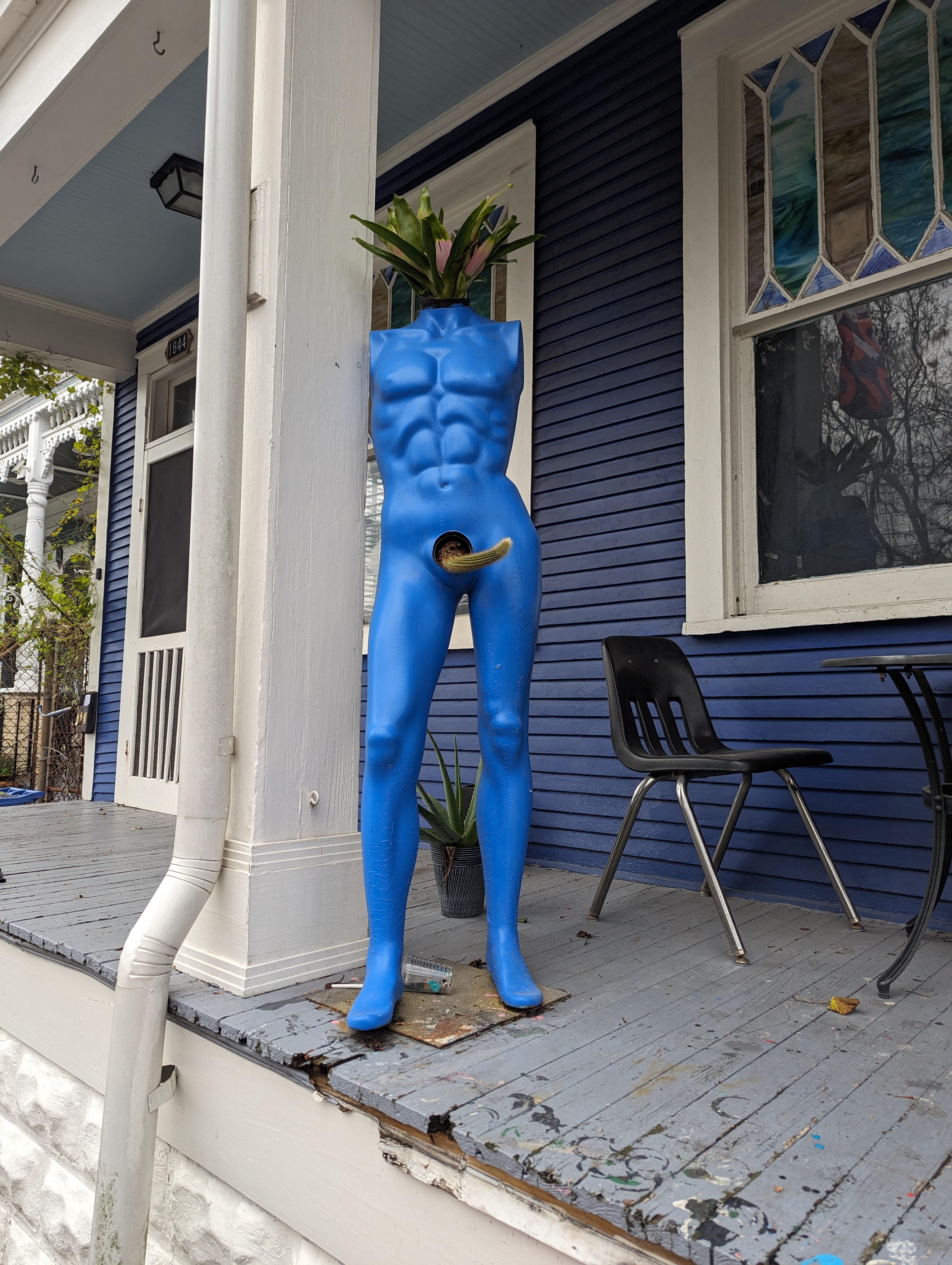
New Orleans is Louisiana’s largest city, situated within a state shaped by several overlapping identities: French, Spanish, Creole, Southern and Gulf Coast. Understanding that setting offers useful context for the city and the wider region.
Louisiana is part of both the Deep South and the South Central United States. It shares borders with Texas, Arkansas and Mississippi, while the Gulf of Mexico forms its southern edge. Baton Rouge is the state capital, and New Orleans is its most populous city, with about 363,000 residents. The state as a whole has roughly 4.6 million people.
One of Louisiana’s most distinctive features is its system of local government. Instead of counties, the state is divided into parishes. These jurisdictions serve the same general role as counties elsewhere. The terminology reflects Louisiana’s French heritage and sets the state apart from most of the country. Louisiana is one of only two U.S. states without counties; the other is Alaska, whose comparable divisions are called boroughs.
The state’s names also reflect its layered history and culture. Louisiana is known as Louisiane in French, Luisiana in Spanish and Lwizyàn in Louisiana Creole. Those forms point to the different linguistic traditions associated with the state, while also placing New Orleans within a broader French Louisiana region.
Geography is central to Louisiana’s character. The Mississippi River runs along much of the state’s eastern boundary, and its mouth and delta shape much of the lower portion of the state. Over time, sediment carried downstream by the river helped form large areas of land. The result includes extensive deltas, coastal marshes and swamps, as well as a rich range of southern plant and animal life. Ibises are among the birds found in these environments.
This landscape is more than a backdrop. It helps explain why Louisiana is often understood through its waterways, coast and wetlands as much as through its cities and political subdivisions. For New Orleans, being the state’s most populous city means being part of a place defined simultaneously by urban life and by the river-and-Gulf geography surrounding it.
Louisiana therefore provides a compact example of how language, government and environment can intersect. Its parish structure recalls the state’s French inheritance; its names preserve multiple cultural traditions; and its river-built terrain continues to define the lower state. New Orleans sits within all three of those stories, making the city inseparable from the Louisiana context around it.
Source and reuse information This automatically generated backgrounder adapts text from “Louisiana” on Wikipedia: https://en.wikipedia.org/wiki/Louisiana The adapted text is released under the Creative Commons Attribution-ShareAlike 4.0 International license (CC BY-SA 4.0): https://creativecommons.org/licenses/by-sa/4.0/. The source article’s linked references are provided below where available. This story has not been independently reviewed or fact-checked.
Further links listed by the Wikipedia page (not independently checked): - https://www.economist.com/news/united-states/21727099-has-lessons-americas-climate-change-policy-louisiana-fights-sea-and-loses - https://web.archive.org/web/20100613042932/http://digital.olivesoftware.com/Olive/ODE/Tulanian/ - https://web.archive.org/web/20090805171217/http://www.srh.noaa.gov/lch/research/la18hu.php#18 - https://web.archive.org/web/20170518041714/http://www.knowlouisiana.org/entry/code-noir-of-louisiana - https://www.knowlouisiana.org/entry/code-noir-of-louisiana - https://web.archive.org/web/20041019003356/http://fisher.lib.virginia.edu/collections/stats/histcensus/php/state.php Image rights Photograph description: Burgundy Street, Marigny, New Orleans Creator: Cory Doctorow. License: CC BY-SA 2.0 (https://creativecommons.org/licenses/by-sa/2.0). Original image page: https://commons.wikimedia.org/wiki/File%3AMannekin_with_cactus_penis%2C_Burgundy_Street%2C_New_Orleans%2C_Louisiana%2C_USA.jpg. The image was resized for display; no other changes were made.