Culture · New York City
Castle Hill: A Bronx Neighborhood Shaped by Housing and Water
A guide to Castle Hill’s boundaries, civic structures and development history in the southeast Bronx.
By KLGBT News Desk ·
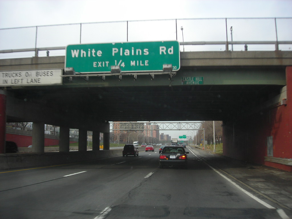
Castle Hill occupies a southeast corner of the Bronx, bordered by several major waterways and roads. Waterbury Avenue and Westchester Avenue mark its northern edge, while Westchester Creek forms the eastern boundary. To the south, the neighborhood meets the East River, and White Plains Road defines its western side.
Unionport is commonly described as a section of Castle Hill. It is generally understood to lie north of Lafayette Avenue, adding another layer to the neighborhood’s local geography. Castle Hill falls within Bronx Community Board 9 and includes parts of ZIP Codes 10462, 10472 and 10473.
The neighborhood’s public-safety and housing services are organized through city agencies. The NYPD’s 43rd Precinct patrols Castle Hill. NYCHA developments in the area are served by Police Service Area 8, based at 2794 Randall Avenue. These administrative details can help residents and visitors identify the agencies connected to the neighborhood, particularly when navigating city services or community-board matters.
Castle Hill’s built environment developed in stages. Early growth concentrated around the IRT Pelham Line near Westchester Avenue and around Castle Hill Avenue, which was once served by a streetcar. Much of the neighborhood’s housing consisted of attached and detached buildings between two and three stories tall. These structures included both single-unit and multi-unit homes, often built close together on relatively small lots.
As demand for housing grew, additional parcels were developed with larger buildings. Four- to six-story structures joined the earlier low-rise homes, creating a mix of building types that remains central to the neighborhood’s physical character. The pattern reflects a gradual expansion rather than a single period of construction: transportation access helped establish an early center of development, while later housing filled remaining land.
The area also became home to European immigrants who were leaving overcrowded immigrant districts in Lower Manhattan. That history places Castle Hill within a broader Bronx story of migration, neighborhood formation and the search for more housing space. Today, its identity is tied to its position between the East River and Westchester Creek, its connection to surrounding streets and avenues, and the range of housing forms created over successive periods of growth.
For New Yorkers seeking a basic orientation to Castle Hill, the neighborhood is best understood through those overlapping features: a defined waterfront setting, a subsection known as Unionport, connections to Bronx civic agencies and a housing landscape shaped by transportation and rising demand.
Source and reuse information This backgrounder adapts factual material from “Castle Hill, Bronx” on Wikipedia: https://en.wikipedia.org/wiki/Castle_Hill,_Bronx The adapted text is released under the Creative Commons Attribution-ShareAlike 4.0 International license (CC BY-SA 4.0): https://creativecommons.org/licenses/by-sa/4.0/. This story has not been independently reviewed or fact-checked.
Further links listed by the Wikipedia page (not independently checked): - https://www.nytimes.com/2009/01/18/realestate/18livi.html - https://sabr.org/bioproj/person/f9491612 - https://nypost.com/2014/06/16/j-lo-still-exploiting-her-bronx-roots-with-latest-album/ - https://nypost.com/2007/07/31/point-taken/ - https://www.nytimes.com/2013/04/28/movies/the-weight-those-heels-carry.html - https://www.nytimes.com/slideshow/2009/01/15/realestate/20090118LIVINGIN_index.html Image rights Photograph description: Interstate 278 - New York Creator: Dougtone. License: CC BY-SA 2.0 (https://creativecommons.org/licenses/by-sa/2.0). Original image page: https://commons.wikimedia.org/wiki/File%3AInterstate_278_-_New_York_-_4289718877.jpg. The image was resized for display; no other changes were made.