Culture · New York City
Crotona Park East: A South Bronx Neighborhood with a Long, Complicated History
Crotona Park East, also known as Crotona or East Morrisania, is a residential neighborhood in the southwest Bronx shaped by changing boundaries, deep family history and the South Bronx’s well-known struggles with disinvestment and arson.
By KLGBT News Desk ·
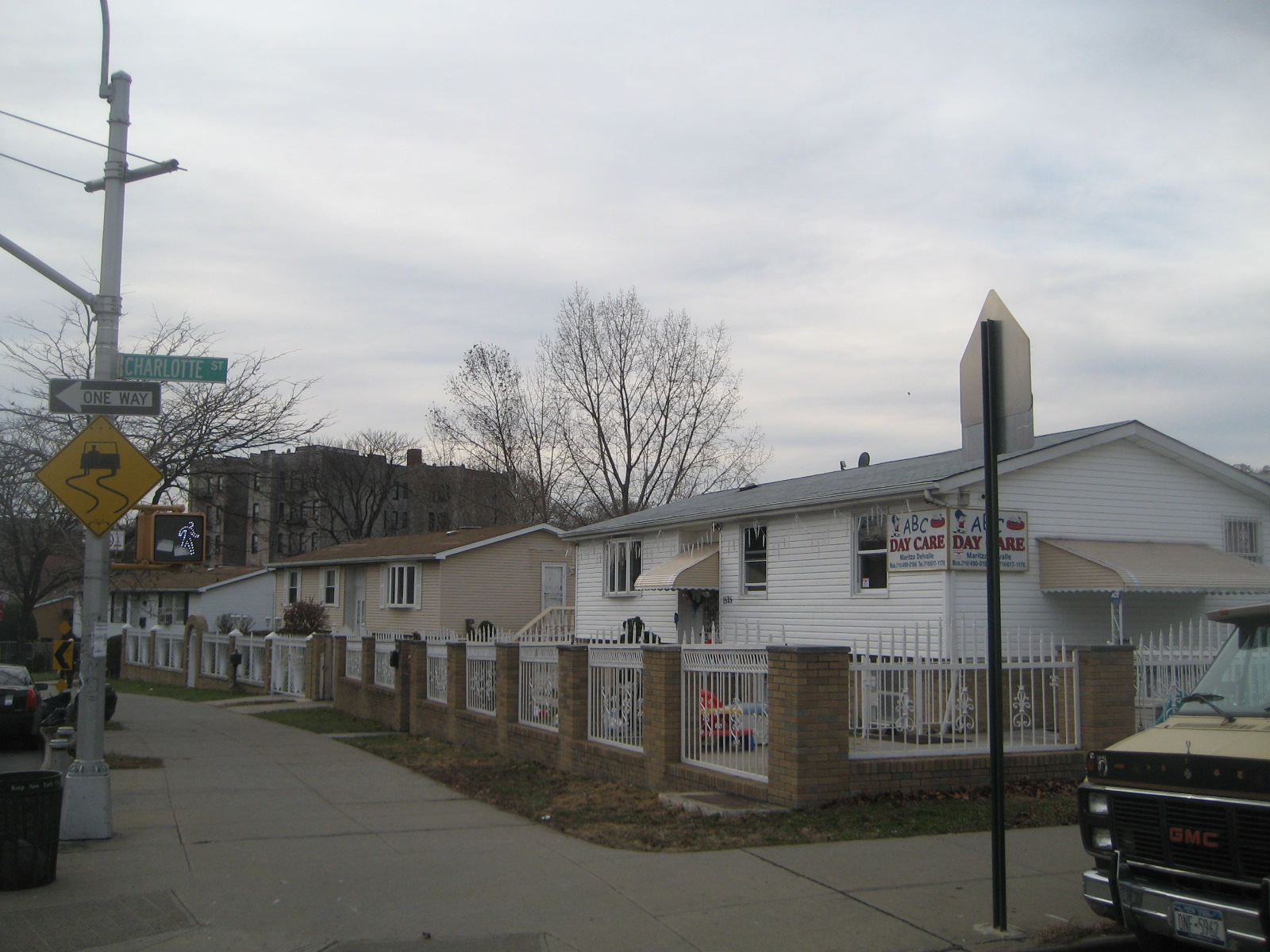
Crotona Park East is a residential neighborhood in the southwest Bronx, within the area commonly known as the South Bronx. It is also called Crotona and East Morrisania, names that reflect the neighborhood’s connections to the surrounding Bronx landscape and its history.
The neighborhood’s boundaries are defined by several major geographic markers. The Cross-Bronx Expressway forms its northern edge, while the Bronx River marks the eastern boundary. East 167th Street runs along the southern side, and Crotona Avenue and Prospect Avenue border the neighborhood to the west. Southern Boulevard is the area’s main thoroughfare, carrying traffic through the community.
Crotona Park East should not be confused with Crotona Park, the nearby public park. Although the neighborhood and park share a name and are close to one another, they are separate places. That distinction matters when describing the area’s geography and its relationship to the broader Bronx.
The neighborhood is part of Bronx Community Board 3. Its ZIP Codes are 10459 and 10460. Police services in the area fall under the NYPD’s 42nd Precinct. NYCHA properties in the neighborhood are served by Police Service Area 7, located at 737 Melrose Avenue in the Melrose section of the Bronx.
Crotona Park East’s history reaches back to 1670, when the land was part of the Morris family’s estate in Westchester County. Over the centuries, the area developed from estate land into an urban neighborhood connected to the expanding city.
The neighborhood also reflects the severe challenges faced by many low-income areas of New York City during the 1970s. Crotona Park East was among the communities affected by widespread arson. By 1980, the South Bronx had become a national symbol of urban decline. Charlotte Street, located in the heart of the neighborhood, was among the places associated with that period of physical deterioration.
Today, Crotona Park East remains identifiable through its location, its major thoroughfare and its civic boundaries. Its story is tied both to the Bronx’s early land history and to the South Bronx’s experience of crisis during the late twentieth century. Understanding those layers helps place the neighborhood within New York City’s larger history without collapsing it into a single image of hardship.
Source and reuse information This backgrounder adapts factual material from “Crotona Park East, Bronx” on Wikipedia: https://en.wikipedia.org/wiki/Crotona_Park_East,_Bronx The adapted text is released under the Creative Commons Attribution-ShareAlike 4.0 International license (CC BY-SA 4.0): https://creativecommons.org/licenses/by-sa/4.0/. This story has not been independently reviewed or fact-checked.
Further links listed by the Wikipedia page (not independently checked): - https://web.archive.org/web/20150525030524/http://www.nyc.gov/html/nycha/html/home/home.shtml - https://www.nytimes.com/interactive/2013/06/03/nyregion/the-south-bronx-through-the-looking-glass.html?ref=multimedia - https://www.nytimes.com/2009/08/23/nyregion/23bronx.html?_r=3&hp=&pagewanted=all& - https://www.nytimes.com/2008/10/26/realestate/26livi.html?n=Top/Classifieds/Real%20Estate/Columns/Living%20In - https://web.archive.org/web/20151013065024/http://www.urbanresearchmaps.org/plurality/ - https://communityprofiles.planning.nyc.gov/bronx/3 Image rights Photograph description: Photograph of Charlotte Street, Bronx, New York Creator: Zach from Brooklyn, USA. License: CC BY-SA 2.0 (https://creativecommons.org/licenses/by-sa/2.0). Original image page: https://commons.wikimedia.org/wiki/File%3ACharlotte_Street_-_Bronx.jpg. The image was resized for display; no other changes were made.