Beyond the Bay · Saint Paul
Minneapolis and Saint Paul: Two Cities Shaped by the Mississippi
Minneapolis and Saint Paul sit side by side in the Twin Cities region, linked by the Upper Mississippi River and a shared metropolitan geography.
By KLGBT News Desk ·
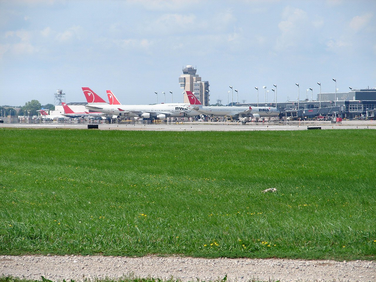
Minneapolis and Saint Paul are neighboring cities with distinct municipal identities but a closely connected regional setting. Minneapolis lies in Hennepin County, where it serves as the county seat, while Saint Paul is Minnesota’s capital. Together, the two cities are commonly known as the Twin Cities, at the center of a metropolitan area with 3.69 million residents.
Minneapolis sits near Minnesota’s eastern edge and extends along both sides of the Upper Mississippi River. Its location places the city directly beside Saint Paul, making the river and the adjoining urban landscape central features of the region’s geography. For Saint Paul residents, Minneapolis is not a distant neighboring community but part of the same closely linked metropolitan environment.
The scale of Minneapolis also helps explain its regional importance. The city had 429,954 residents in the 2020 census, making it Minnesota’s most populous city. Saint Paul and Minneapolis occupy different political and administrative roles, yet their proximity has helped give the broader area a shared identity that reaches beyond either city’s boundaries.
Water is another defining part of Minneapolis’s setting. The city is built on an artesian aquifer and includes thirteen lakes, wetlands, the Mississippi River, creeks and waterfalls. Its terrain is described as relatively flat, while the climate brings cold, snowy winters and hot, humid summers. A connected public park system follows the Grand Rounds National Scenic Byway, tying several parts of the city together through a network of public green space.
The Mississippi also shaped Minneapolis’s early development. Dakota people previously inhabited the area. European settlement began north of Fort Snelling near Saint Anthony Falls, identified in the source as the only natural waterfall on the Mississippi River. The falls, along with the nearby fort, offered conditions that encouraged early growth and industrial activity.
That history provides useful context for understanding the Twin Cities today. Minneapolis developed around a combination of river access, waterpower, lakes and public landscapes, while Saint Paul grew next door as the state capital. The result is a paired urban region whose communities remain geographically adjacent even as each city retains its own civic role and character.
Source and reuse information This automatically generated backgrounder adapts text from “Minneapolis” on Wikipedia: https://en.wikipedia.org/wiki/Minneapolis The adapted text is released under the Creative Commons Attribution-ShareAlike 4.0 International license (CC BY-SA 4.0): https://creativecommons.org/licenses/by-sa/4.0/. The source article’s linked references are provided below where available. This story has not been independently reviewed or fact-checked.
Further links listed by the Wikipedia page (not independently checked): - https://web.archive.org/web/20150225074946/http://www.tcdailyplanet.net/news/2015/02/24/about-miracle - https://viaf.org/viaf/141350341 - https://d-nb.info/gnd/4039497-9 - https://catalog.archives.gov/id/10045983 - https://catalogue.bnf.fr/ark:/12148/cb11949402n - https://musicbrainz.org/area/3e80aaa7-9b71-450f-8147-0ecf101d8f1a Image rights Photograph description: dug up from the archives...seen here at Minneapolis/St. Paul International are 2 747's and an A330 and a multitude of other NWA aircraft on a beautiful summer day! I should have gone back to this spot, later in the day we got 3 DC-10s and another 747. oh well! Creator: Cory W. Watts from Madison, Wisconsin, United States of America. License: CC BY-SA 2.0 (https://creativecommons.org/licenses/by-sa/2.0). Original image page: https://commons.wikimedia.org/wiki/File%3AMinneapolis-Saint_Paul_International_Airport_(423656489).jpg. The image was resized for display; no other changes were made.