Beyond the Bay · Salt Lake City
Salt Lake City: A civic and geographic primer
Salt Lake City is Utah’s capital and largest city, situated at the center of a rapidly connected urban corridor along the Wasatch Front. Its history, population scale and distinctive street grid help explain the city’s role in statewide life.
By KLGBT News Desk ·
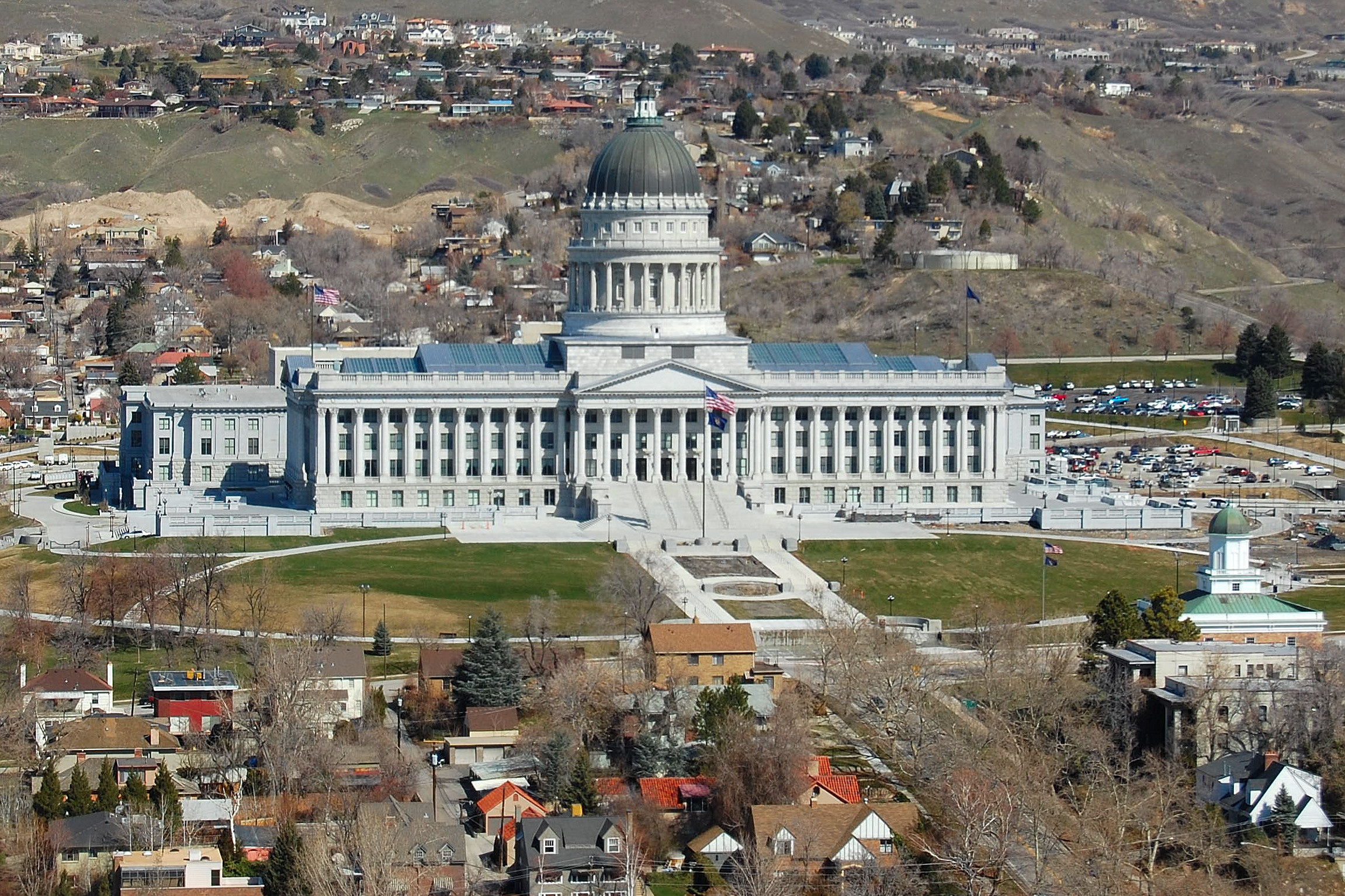
Salt Lake City is Utah’s capital, its most populous city and the seat of Salt Lake County. The city had 199,723 residents in the 2020 census. Its influence extends well beyond its municipal boundaries: the Salt Lake City metropolitan area is estimated to include 1.3 million people, making it the 46th-largest metropolitan area in the United States.
The city is also part of the broader Salt Lake City–Ogden–Provo combined statistical area. That urban corridor follows about 120 miles of the Wasatch Front and includes approximately 2.8 million people. For a local newsroom, this larger setting matters because Salt Lake City functions within a connected regional landscape rather than as an isolated city. Developments centered in the capital may be understood alongside communities stretching north and south along the Wasatch Front.
Salt Lake City is located in the Great Basin, where it is described as one of the region’s principal urban centers, alongside Reno, Nevada. The city’s setting is semi-arid. When the settlement was established in 1847, its founders began constructing an extensive irrigation system. That early infrastructure supported the population and created conditions for continued growth.
The city’s origin is closely tied to a group of settlers led by Brigham Young. They arrived after experiencing persecution farther east and established the settlement in the valley in 1847. The city’s founding story therefore combines migration, religious history and the practical work of building a functioning community in a dry environment.
Salt Lake City’s physical layout remains another defining feature. Its streets follow a compass-based grid, with the southeast corner of Temple Square serving as the starting point for the Salt Lake meridian. This organizing principle gives the city a recognizable spatial structure and provides a basic framework for understanding addresses, neighborhoods and movement through the urban core.
Together, these details establish Salt Lake City as both a municipal government center and the hub of a much larger population corridor. Its role as the state capital, its place in the Wasatch Front and its historical development all shape the context in which local communities and institutions operate. For LGBTQ-focused coverage, this civic and geographic background offers a foundation for locating city stories within the broader Utah region without assuming that the city and its surrounding communities are interchangeable.
Source and reuse information This automatically generated backgrounder adapts text from “Salt Lake City” on Wikipedia: https://en.wikipedia.org/wiki/Salt_Lake_City The adapted text is released under the Creative Commons Attribution-ShareAlike 4.0 International license (CC BY-SA 4.0): https://creativecommons.org/licenses/by-sa/4.0/. The source article’s linked references are provided below where available. This story has not been independently reviewed or fact-checked.
Further links listed by the Wikipedia page (not independently checked): - https://www.nytimes.com/2013/02/24/us/utah-a-nature-lovers-haven-is-plagued-by-dirty-air.html?_r=0 - https://web.archive.org/web/20141108143025/http://quickfacts.census.gov/qfd/states/49/4967000.html - https://www.census.gov/population/www/documentation/twps0076/twps0076.html - https://web.archive.org/web/20120513080920/http://www.slcclassic.com/finance/2012budget/mayorbudget2011.pdf - https://web.archive.org/web/20081216211854/http://www.vehix.com//corporate/aboutUs/ - https://web.archive.org/web/20080104060518/http://www.utahstatecapitol.utah.gov/history/history.html Image rights Photograph description: Utah State Capitol in Salt Lake City, as seen from the 26th floor of the Church Office Building of The Church of Jesus Christ of Latter-day Saints . Creator: LoneStarMike. License: CC BY-SA 3.0 (https://creativecommons.org/licenses/by-sa/3.0). Original image page: https://commons.wikimedia.org/wiki/File%3AUtahStateCapitol-Mar2008-a.JPG. The image was resized for display; no other changes were made.