Beyond the Bay · San Antonio
Brooks: San Antonio’s Planned Community and Its Car-Dependent Legacy
Brooks occupies 1,308 acres in southeast San Antonio on the former site of Brooks Air Force Base. Created in 2001 as a redevelopment effort, the community was designed to support economic growth and more deliberate urban planning, but its separated districts have left it heavily dependent on cars.
By KLGBT News Desk ·
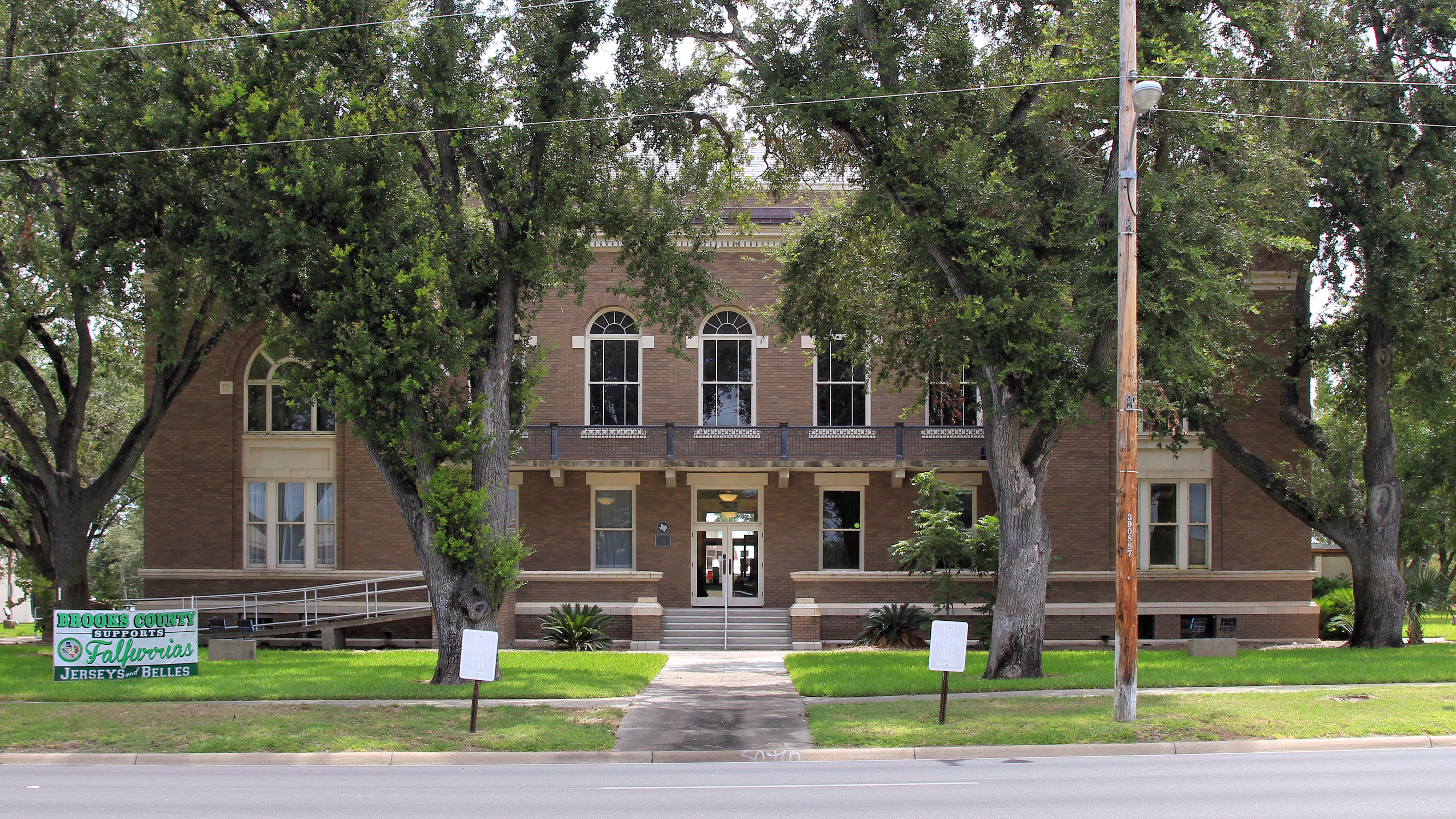
Brooks is a 1,308-acre community in southeast San Antonio built around the redevelopment of a former military installation. Its creation in 2001 involved the United States Congress, the State of Texas and the City of San Antonio. The project was intended to turn the former Brooks Air Force Base into an economic-development center and an example of more responsible urban growth.
The community is centrally planned, meaning its land-use framework sets out defined purposes for different portions of the property. The plan includes areas for residential development, light industry, health-related uses, offices, commercial activity and retail. Rather than allowing those functions to develop without an overall structure, the plan assigns each type of use its own district.
That organization has also shaped the way people move through Brooks. The districts are not positioned close together, according to the source material, and the resulting layout has preserved a strong reliance on automobiles. In that sense, Brooks carries forward development patterns associated with the broader city and the state: destinations are separated by use, making travel between them less convenient without a car.
The tension between Brooks’s ambitions and its physical design is central to understanding the community. Its planners sought to create a catalyst for economic development and a model for urban planning. At the same time, the campus’s division into distinct areas has limited the proximity among homes, workplaces, services and shopping. The result is a planned community whose organization does not necessarily translate into easy connections between its parts.
Brooks therefore offers a local case study in how redevelopment goals can interact with inherited patterns of growth. Reusing a large former base created an opportunity to establish a new community with a detailed land-use plan. But planning by category alone did not eliminate the transportation consequences of separating those categories across a large site.
For San Antonio residents trying to understand Brooks, the key issue is not simply what uses are permitted there. It is also how those uses are arranged. The community’s history reflects an effort to guide redevelopment while contending with car-oriented development patterns that preceded it. That combination—careful designation of land alongside limited closeness between destinations—helps explain why Brooks remains a significant example of the challenges involved in reshaping an existing urban landscape.
Source and reuse information This automatically generated backgrounder adapts text from “Brooks, San Antonio” on Wikipedia: https://en.wikipedia.org/wiki/Brooks,_San_Antonio The adapted text is released under the Creative Commons Attribution-ShareAlike 4.0 International license (CC BY-SA 4.0): https://creativecommons.org/licenses/by-sa/4.0/. The source article’s linked references are provided below where available. This story has not been independently reviewed or fact-checked.
Further links listed by the Wikipedia page (not independently checked): - https://www.google.com/maps/place/Brooks/@29.4190194,-98.4776945,14z/data=!4m5!3m4!1s0x865cf783d87d28df:0xf3ff743372fe77!8m2!3d29.3493683!4d-98.4395121 - https://www.jstor.org/action/doBasicSearch?Query=%22Brooks,+San+Antonio%22&acc=on&wc=on - https://geohack.toolforge.org/geohack.php?pagename=Brooks,_San_Antonio¶ms=29.344_N_98.444_W_type:city_region:US-TX - https://www.google.com/search?as_eq=wikipedia&q=%22Brooks,+San+Antonio%22 - https://www.google.com/search?tbm=nws&q=%22Brooks,+San+Antonio%22+-wikipedia&tbs=ar:1 - https://www.google.com/search?&q=%22Brooks,+San+Antonio%22&tbs=bkt:s&tbm=bks Image rights Photograph description: The Brooks County Courthouse in Falfurrias, Texas, United States was built in 1914. It was designated a Recorded Texas Historic Landmark in 1977 and listed on the National Register of Historic Places on April 10, 2012. Marker text: "Created in 1911, Brooks County was named for State Legislator James A. Brooks (1855-1944), who served as the first county judge. Edward C. Lasater, founder of Falfurri Creator: Larry D. Moore. License: CC BY 4.0 (https://creativecommons.org/licenses/by/4.0). Original image page: https://commons.wikimedia.org/wiki/File%3ABrooks_County_Texas_Courthouse_West_Elevation_2021.jpg. The image was resized for display; no other changes were made.