Beyond the Bay · San Francisco
Mission Bay’s Shift from Industrial Land to a New San Francisco District
Mission Bay has evolved from reclaimed industrial ground and tidal marshland into a waterfront neighborhood anchored by research, technology, sports, offices, parks, and housing.
By KLGBT News Desk ·
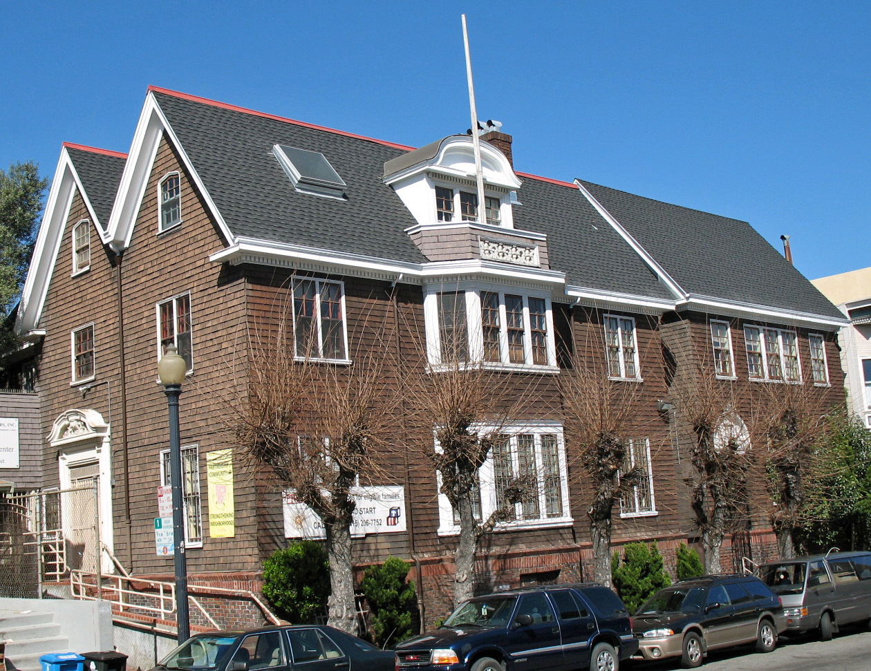
Mission Bay occupies 303 acres on San Francisco’s eastern side, where the city’s industrial past meets a rapidly developed waterfront. Bordered by China Basin to the north, Dogpatch to the south, San Francisco Bay to the east, and the area around Seventh Street and Interstate 280 to the west, the neighborhood has become one of the city’s most visibly transformed districts.
The land looked very different before urban development. Mission Bay was once part of a large salt marsh and lagoon, with tidal waters covering the area year-round. Later, the neighborhood was built up on reclaimed land and used for industrial purposes. Its more recent transformation began in the late 1990s, when large-scale redevelopment and the creation of the University of California, San Francisco’s Mission Bay campus started reshaping the area.
Today, UCSF’s presence is central to Mission Bay’s identity as a research and biotechnology hub. The neighborhood also houses major corporate and technology offices, including Uber Technologies’ global headquarters, Visa’s headquarters at the Mission Rock development, and OpenAI offices. Those workplaces sit alongside a growing residential population living in condominiums and apartment buildings.
Sports and entertainment are another major part of the district’s profile. Chase Center, the arena on the neighborhood’s eastern side, has made Mission Bay a prominent destination for large events. The area’s newer waterfront parks add public open space to a district once associated primarily with industry and infrastructure. China Basin Park and Bayfront Park are among the parks that now connect residents and visitors to the shoreline.
For San Francisco’s LGBTQ community, Mission Bay is part of the broader story of how the city is changing: former industrial areas are becoming mixed-use neighborhoods with housing, offices, cultural destinations, research institutions, and public waterfront spaces. The reference information does not identify a specific LGBTQ institution or community history in Mission Bay, so the neighborhood should not be presented as an established queer enclave. Instead, its significance lies in its place within the city’s continuing development and in the way new districts contribute to the wider urban landscape.
Mission Bay’s boundaries also help explain its position in San Francisco. Townsend Street marks its northern edge, while Mariposa Street forms the southern boundary. Third Street and the bay frame the east, and Seventh Street and Interstate 280 define the west. Within that compact area, the neighborhood brings together remnants of a reclaimed industrial landscape and some of the city’s newest institutions, residences, workplaces, parks, and public destinations.
Source and reuse information This backgrounder adapts factual material from “Mission Bay, San Francisco” on Wikipedia: https://en.wikipedia.org/wiki/Mission_Bay,_San_Francisco The adapted text is released under the Creative Commons Attribution-ShareAlike 4.0 International license (CC BY-SA 4.0): https://creativecommons.org/licenses/by-sa/4.0/. This story has not been independently reviewed or fact-checked.
Further links listed by the Wikipedia page (not independently checked): - https://rockhealth.com/ - https://web.archive.org/web/20071013015846/http://www.sfgov.org/site/uploadedfiles/sfra/Projects/MB%20Land%20Use%20Plan%20Map_11.05.pdf - https://web.archive.org/web/20150215192127/http://www.missionbayparks.com/history.php - https://web.archive.org/web/20140629162450/http://www.sfredevelopment.org/index.aspx?page=61 - https://web.archive.org/web/20120516130733/http://www.pharma.bayer.com/scripts/pages/en/news_room/news_room/news_room92.php - https://web.archive.org/web/20071013100855/http://pub.ucsf.edu/missionbay/building/expand_medcenter.php Image rights Photograph description: National Register of Historic Places in San Francisco, California. Girls Club, 362 Capp St, San Francisco, California, USA. Photographed 2008-03-23 by Mike Hofmann from the east side of Capp St. between 18th and 19th Sts. Camera location 37° 45′ 39.24″ N, 122° 25′ 05.16″ W View this and other nearby images on: OpenStreetMap 37.760900; -122.418100 Creator: Sanfranman59. License: CC BY-SA 3.0 (https://creativecommons.org/licenses/by-sa/3.0). Original image page: https://commons.wikimedia.org/wiki/File%3AGirls_Club_(San_Francisco).JPG. The image was resized for display; no other changes were made.