LGBTQ+ · Seattle
Capitol Hill: Seattle’s Historic LGBTQ+ Neighborhood at the Center of City Life
East of downtown, Capitol Hill combines a historic gay village, busy nightlife, residential streets, and a longstanding music culture in one of Seattle’s most recognizable neighborhoods.
By KLGBT News Desk ·
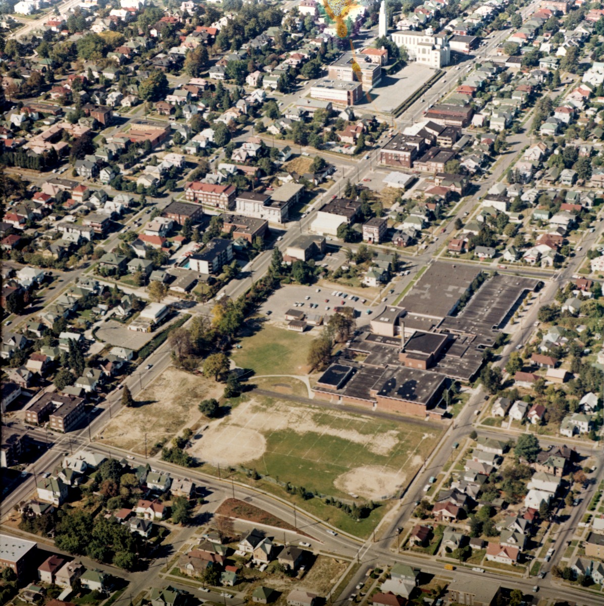
Capitol Hill sits immediately east of Downtown Seattle and north of First Hill, forming one of the city’s most densely populated residential districts. For LGBTQ+ Seattleites and visitors, the neighborhood is especially significant as the home of a historic gay village and a major center of nightlife and entertainment.
The area’s identity has developed over more than a century. In the early 1900s, it was commonly known as Broadway Hill, a reference to its principal thoroughfare. The name Capitol Hill emerged later, though its origin remains disputed. One account connects the name to real estate developer James A. Moore, who helped plat much of the neighborhood and reportedly hoped Seattle might one day become the site of Washington’s state capitol. Another explanation links the name to Denver’s Capitol Hill, where Moore’s wife was from. Author Jacqueline Williams has suggested that both stories may have contributed to the neighborhood’s name.
Capitol Hill also carried another informal name for decades: Catholic Hill. That description reflected the neighborhood’s large Catholic population and remained in use into the 1980s. The overlapping names point to a community whose identity has shifted over time, shaped by migration, development, institutions, and changing cultural life.
Today, Capitol Hill is widely associated with LGBTQ+ community and culture. Its historic gay village is part of a broader neighborhood known for restaurants, bars, clubs, and other entertainment venues. The district’s nightlife reputation makes it one of Seattle’s most visible gathering places after dark, while its dense residential character means it is also a place where people live, work, and build community day to day.
Music is another defining part of Capitol Hill’s public identity. The neighborhood has a vibrant music community, adding performance spaces and music-centered activity to its LGBTQ+ cultural importance. Together, nightlife and music have helped make Capitol Hill a prominent destination within Seattle while reinforcing its role as a neighborhood rather than simply an entertainment corridor.
The district also contains quieter residential areas. Among its wealthier sections are tree-lined streets near Volunteer Park, including the area along 14th Avenue East south of the park. That contrast—between busy commercial activity and established residential streets—is central to Capitol Hill’s character.
For a city with many distinct communities, Capitol Hill remains an especially important reference point: a historic LGBTQ+ neighborhood, a nightlife destination, a music hub, and a residential district immediately connected to downtown. Its history is marked by competing names and changing populations, while its present-day reputation rests on the cultural energy that continues to define the neighborhood.
Source and reuse information This backgrounder adapts factual material from “Capitol Hill, Seattle” on Wikipedia: https://en.wikipedia.org/wiki/Capitol_Hill,_Seattle The adapted text is released under the Creative Commons Attribution-ShareAlike 4.0 International license (CC BY-SA 4.0): https://creativecommons.org/licenses/by-sa/4.0/. This story has not been independently reviewed or fact-checked.
Further links listed by the Wikipedia page (not independently checked): - https://web.archive.org/web/20120614131044/http://clerk.ci.seattle.wa.us/~public/annexations/1886.htm - https://web.archive.org/web/20070928020402/http://www.historicseattle.org/preservationseattle/neighborhoods/defaultfeb2.htm - https://web.archive.org/web/20060410061905/http://archives.thedaily.washington.edu/1996/100396/club100396.html - https://www.democracynow.org/2020/6/9/headlines/protesters_establish_autonomous_zone_around_seattle_pd_building_as_police_retreat - https://mynorthwest.com/1930871/seattle-protest-updates-tuesday/ - https://www.historylink.org/File/1621 Image rights Photograph description: Aerial view of Miller Playfield and surrounding area on Capitol Hill, Seattle, Washington. The street to the left of the playfield is 19th Ave. St. Joseph's Church (Roman Catholic) can be seen at top of photo. Creator: Seattle Municipal Archives. License: CC BY 2.0 (https://creativecommons.org/licenses/by/2.0). Original image page: https://commons.wikimedia.org/wiki/File%3ASeattle_-_Aerial_of_Capitol_Hill%2C_1970.jpg. The image was resized for display; no other changes were made.