Beyond the Bay · Washington
Washington’s place within Tyne and Wear
Washington is among the notable towns in Tyne and Wear, a largely urbanised ceremonial county linking the Tyneside and Wearside conurbations in North East England.
By KLGBT News Desk ·
Washington is one of the notable towns within Tyne and Wear, a ceremonial county in North East England. The county’s wider geography brings together communities associated with both Tyneside and Wearside, making it a useful regional frame for understanding Washington’s place in the area.
Tyne and Wear covers 540 square kilometres and had an estimated population of 1,178,389 in 2024. It borders Northumberland to the north and County Durham to the south. The county is largely urbanised, with most of its settlements belonging to one of two connected urban areas: the Tyneside conurbation or the Wearside conurbation. Wearside also extends beyond the county boundary into County Durham.
The county includes two cities, Newcastle upon Tyne and Sunderland. Newcastle stands on the north bank of the River Tyne, near the centre of Tyne and Wear, while Gateshead lies opposite it on the river’s south bank. Farther east, South Shields is located at the mouth of the Tyne. Sunderland is in the south-east, at the mouth of the River Wear.
Other named towns in Tyne and Wear include Birtley, Blaydon, Felling, Gateshead, Hebburn, Hetton-le-Hole, Houghton-le-Spring, Jarrow, Killingworth, North Shields, South Shields, Tynemouth, Wallsend and Whitley Bay. Washington appears in this same list of notable towns, placing it within a county whose communities range across the Tyne and Wear river systems and their surrounding urban areas.
For local administrative purposes, Tyne and Wear is made up of five metropolitan boroughs: Gateshead, Newcastle upon Tyne, Sunderland, North Tyneside and South Tyneside. Their councils work together through the North East Combined Authority, which also includes areas beyond the county.
That structure matters when reading regional developments through a Washington lens. Tyne and Wear is not a single city, but a county-level area containing multiple boroughs, towns and cities. Washington’s identity is therefore connected to a broader urban geography rather than defined by one municipal centre alone. The county’s size, population and network of settlements provide the basic regional context for reporting on communities in and around Washington, including work that considers how local life fits into the wider North East.
Source and reuse information This automatically generated backgrounder adapts text from “Tyne and Wear” on Wikipedia: https://en.wikipedia.org/wiki/Tyne_and_Wear The adapted text is released under the Creative Commons Attribution-ShareAlike 4.0 International license (CC BY-SA 4.0): https://creativecommons.org/licenses/by-sa/4.0/. The source article’s linked references are provided below where available. This story has not been independently reviewed or fact-checked.
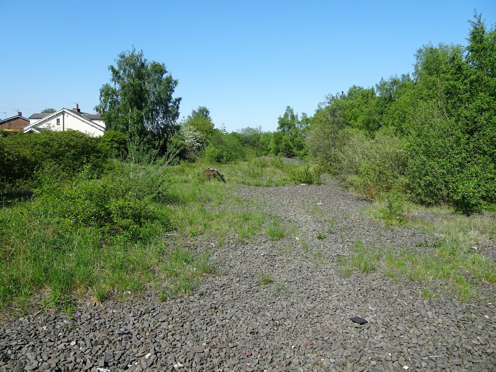
Further links listed by the Wikipedia page (not independently checked): - https://web.archive.org/web/20160428061242/http://www.metoffice.gov.uk/public/weather/climate/gcybzz9xh - https://d-nb.info/gnd/4078484-8 - https://musicbrainz.org/area/6177c51d-11de-4d4d-93f7-0f7a0b5e99f8 - https://www.theguardian.com/travel/2021/mar/06/short-breaks-days-out-five-england-less-visited-counties - https://britishheritage.com/history/bede-englands-first-great-historian - https://www.metoffice.gov.uk/research/climate/maps-and-data/uk-climate-averages/gcwzefp2c Image rights Photograph description: Washington 2nd railway station (site), Tyne & Wear Opened in 1850 by the York, Newcastle & Berwick Railway, soon to be part of the North Eastern Railway, this station replaced an earlier one some 600m behind the camera position. In turn, this one closed in 1963. View north towards Usworth and Newcastle, also to Boldon and South Shields. The last track through here was lifted in 2012. Creator: Nigel Thompson. License: CC BY-SA 2.0 (https://creativecommons.org/licenses/by-sa/2.0). Original image page: https://commons.wikimedia.org/wiki/File%3AWashington_2nd_railway_station_(site)%2C_Tyne_%26_Wear_(geograph_6853515).jpg. The image was resized for display; no other changes were made.